Surveying tailored to your needs

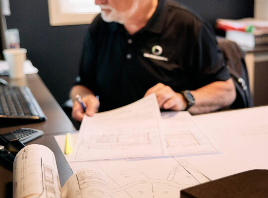
At Géo Précision, we support contractors, professionals, and individuals with their surveying and geomatics projects throughout the Outaouais region. From construction and cadastral operations to specialized surveys, layout services, laser scanning, and 3D modeling, our team adapts its approach to the specific needs of each project.

info@geoprecision.ca

Don’t hesitate and write us.
This is the general email.

(819) 525-4258

We are available for
questions and estimates.

Géo Précision Inc.

35 Rue Sainte-Marie,
Gatineau, QC J8Y 2A4

@LAUREPOIRET_GEOPRECISION031
20 years of successful land surveying and mapping projects in the greater Boise County region.

Steve Tremblay
Founder & CEO

About our organization, mission, our methods, and the range of services.

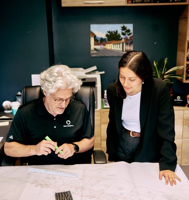
At Géo Précision, we bring together a team with diverse backgrounds, experiences, and areas of expertise, united by a shared passion for surveying and geomatics.

This diversity allows us to collaborate on projects of many different types, combining experience in legal surveying, geomatics, construction, drafting, real estate law, and specialized services.

Precise Land Surveying

We approach every project with a focus on exceeding the client’s needs.

Affordable & Accurate

Legal requirements can be tricky and land surveying companies can’t keep.

Accurate & Precise Land Surveying Services With The Highest Quality.

Surveying and geomatics services tailored to the realities of construction, land development, and projects requiring specialized surveys or field services.

Whether you are selling a property, planning a construction project, determining your property boundaries, or carrying out a cadastral operation, find the service that corresponds to your project and its current stage.

Professional Land
Surveying & Mapping

Géo Précision routinely provides surveying solutions for business, real estate, land development and civil engineering in Boise area.

Expertise and technology

Services tailored to the requirements of every project

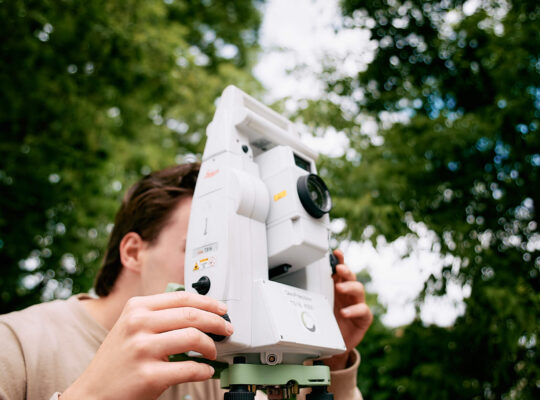
Surveying needs can vary considerably from one project to another. We combine our team’s experience, field-adapted methods, and a range of surveying equipment and technologies to carry out the surveys, measurements, layouts, and documents required for each project.


For construction and specialized assignments, our team can provide layout services, topographic plans, leveling, precision surveying, as well as laser scanning and 3D modeling.

Projects
0 +
Years of Experience
0
Happy Clients
0
Quality Certificates
0

Recent News

Basic boundary survey with property corners

  But how puny and harmless they now looked beside this huge and terrific incarnation of hate, of vengeance and of death. The man himself, for such I may...

by

Research of federal and state resources and the public record

It did so indeed, and much sooner than she had expected: before she had drunk half the bottle, she found her head pressing against the ceiling....

by

Certificat de localisation
Close Search Window
↑
This site is registered on wpml.org as a development site. Switch to a production site key to remove this banner.